File:1977 03 20.jpg
Appearance

Size of this preview: 800 × 565 pixels. Other resolutions: 2,560 × 1,808 pixels | 3,168 × 2,238 pixels.
Original file (3,168 × 2,238 pixels, file size: 1.25 MB, MIME type: image/jpeg)
| Date Published: | 1977 March 20 PNJ |
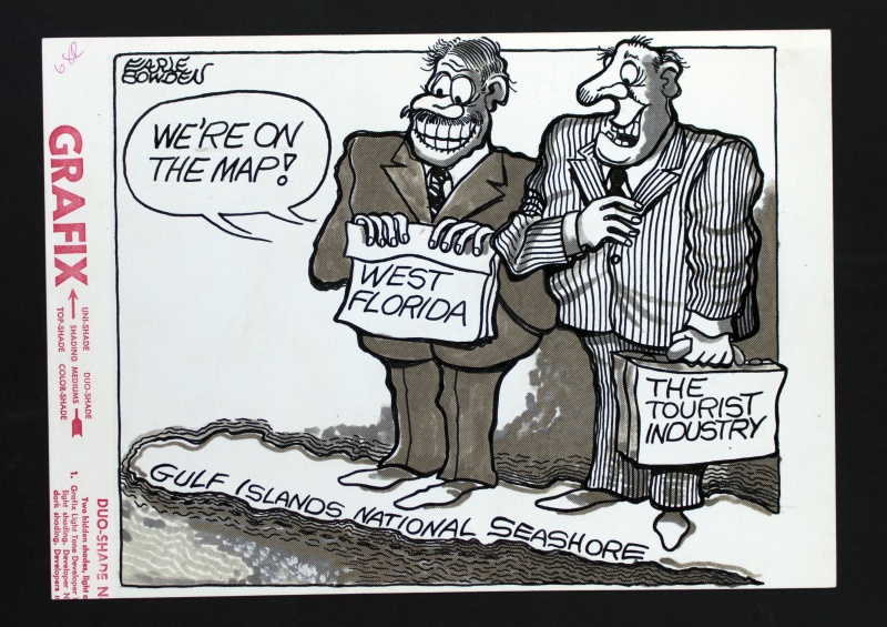
| Title: | We’e On The Map! |
| Medium: | Ink on duo shade paper |
| Size: | 12 ½ in. x 8 7/8 in. |
| Description/Context: | Accompanying the editorial ‘Seashore Development Proposals Seem Sound’ noting the latest decisions by the National Park Service to develop the Gulf Islands National Seashore. The cartoon features two ecstatic individuals (West Florida, and the Tourism Industry) standing on the Gulf Islands National Seashore peninsula. |
File history
Click on a date/time to view the file as it appeared at that time.
| Date/Time | Thumbnail | Dimensions | User | Comment | |
|---|---|---|---|---|---|
| current | 15:47, 13 June 2014 |  | 3,168 × 2,238 (1.25 MB) | Perry Journey (talk | contribs) |
You cannot overwrite this file.
File usage
The following page uses this file: