This site is a work-in-progress. It will eventually map the people and places of Pensacola, Florida between 1870 and 1940.
The interactive map currently displays data from the 1905 Pensacola City Directory, which was transcribed by undergraduate students enrolled in Dr. Jamin Wells’s AMH2020 course at the University of West Florida. This data should be considered preliminary and it is being refined by a team at the UWF Digital Humanities Lab.
Check back often as we will be regularly updating and expanding content on this site. Until then, explore the detailed directions for how to use the interactive map as well as an in-depth exploration into demographic trends of “The Blocks” compiled by a team of graduate students in the Fall of 2017.
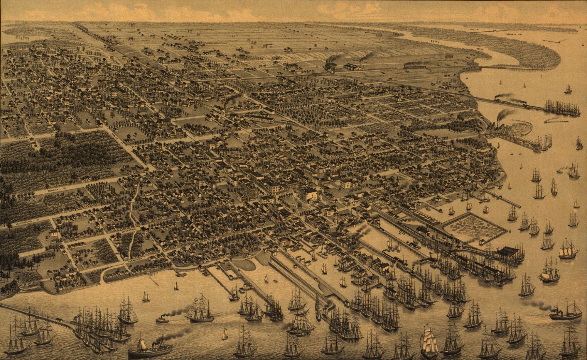
The header image is titled “Pensacola, Fla. county seat of Escambia County 1885.” The Milwaukee, Norris, Wellge, & Co. published this bird’s eye view in 1885. A high-resolution copy of this image is available via the Library of Congress website.